


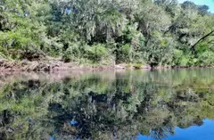
El Gavilán
Rivera · Valle del LunarejoWalkViewCamp
- Water
- Arroyo Lunarejo · distance: no data
- Cost
- no data
Services: n/aOperator · 2026
2 trails · guide required
Not yet translated. Descriptions on this page are shown in Spanish. Labels, data and dates are in English.
Rivera · Valle del Lunarejo
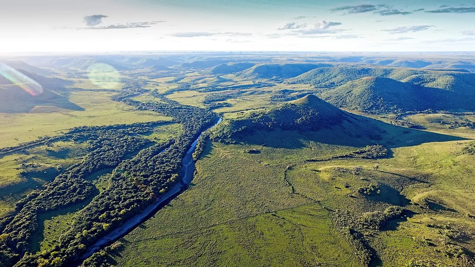
Establecimiento rural en el Valle del Lunarejo con camping y sendero al Cerro Boquerón. Requiere coordinar antes de ir. Not yet translated
Almost no source publishes distance, time or difficulty, and none publishes elevation gain.
How to book: Coordinar con el establecimiento antes de ir.
Little or no mobile coverage. Tell someone your route.
Close gates and keep your distance from the animals.
| Item | Amount (UYU) | Data year |
|---|---|---|
| Acampe | no data | no date |
Open-air fires are banned nationwide from 1 Nov to 30 Apr, except in grills and designated places. See Fire
La guía oficial 2024 y OSM ubican el establecimiento a 651 m de distancia.
We do not pick a version: we show what each source says.
Page built on 26 Oct 2026 from the listed sources.
This is not an official site. Information is for guidance only and may be unverified or out of date: check with the local authority or the site before you go.
Shown once. Saved in this browser, with no cookies.